Can AI Replace Pilots? What Future Pilots Need to Know.
Can AI replace pilots? It’s a question that comes up often, especially for anyone considering flight training today. With rapid advances in automation, many assume

For thousands of years, women and men have forecast the weather by watching the sky – noting the types of clouds, where they move, and how they develop. While a forecast should not be based on a single weather element, recognizing the various clouds – understanding what makes them form and grow – will help you to detect impending changes in the weather.
The lowest layer of the atmosphere, called the troposphere, extends from the earth’s surface to about 12 km above it. This is where all of our weather occurs. Near the earth, air is comparatively warm and moist, becoming cooler and drier with altitude. Clouds form when this warm, moist air cools down, causing the water vapour in it to condense into tiny but visible water droplets. The cooling process often results when the air is lifted by one of several mechanisms:
In each case, as the air rises to higher altitudes, the air expands and cools, resulting in the water vapour it contains condensing into droplets or sublimating directly from vapour into ice crystals, depending on the temperature. The cooling of an air mass can also result when comparatively warm air moves over a cooler surface and contact cooling causes the formation of low cloud. This process is called advection.
There are four “families” of clouds: low, middle, high, and convective clouds. Low, middle, and high clouds are categorised by the normal height of their bases above ground. For example, the bases of high clouds range from 6 to 12 km above the earth’s surface. Convective clouds are named for the process that causes them to form – convective currents or currents of rising warmer air. The bases of convective clouds overlap the low and middle height ranges.
Clouds within these four families are named for their appearance and the approximate height of their bases. The names are derived from combinations of the Latin words cirrus (curl or lock of hair), stratus (stretched out or layered), cumulus (heap), alto (middle), and nimbus (rain).
In general, cloud bases follow the temperature. They are lower in winter and in Arctic regions – higher in summer and in southern regions. Although there are no rigid rules governing the range of possible heights, the table below can be used as a guide in Canada or any other country in the middle latitudes.
It is also useful, when observing clouds, to try to determine what atmospheric process caused them to form. Your cloud observations, when combined with trends in temperature, wind direction, and barometric pressure, can provide the key to understanding the weather. For example, if you observe increasing east winds at the surface, a falling pressure, and a consistent thickening of the clouds from the southwest with cloud types going from cirrostratus to altostratus clouds, chances are fairly high that a steady precipitation is on the way. Another good rule of thumb is that the more cloud types that are present at any one time, the greater the likelihood of precipitation. By watching the sky, you will become more proficient at anticipating changes in the weather and planning your weather-related activities around them.
These wispy streaks are often seen on good-weather days. However when a blanket of cirrus appears to invade the sky — particularly from the west or southwest — this may be the first sign that a change in the weather is on the way. Cirrus sometimes evolves from the upper part of thunderstorms.
Cirrocumulus clouds commonly occur in extensive sheets, resembling the ripples that waves leave in the sand. These clouds are often seen on the fringes of low pressure systems.
This thin veil of ice crystals may appear in bands, but it more often occurs in sheets that cover the sky. Cirrostratus is easily identifiable by the halo it produces around the sun or moon. This cloud usually indicates that there is a large weather system some distance from you that could bring a change in the weather and some precipitation within 24 hours.
These clouds usually stretch in neat rolls or long bands across the sky, often as the result of an extensive layer of rising air. If a layer of altocumulus thickens into a solid bank which moves
This gray or blue sheet is thin enough in spots to allow the sun or moon to be visible but thick enough to prevent objects at the surface from casting a shadow. Unlike cirrostratus, this cloud does not produce halo phenomena. Altostratus usually progresses from an earlier observation of cirrostratus. When
This mid-level cloud is found downwind of mountains or hilly areas. It forms when strong winds drive moist air up and over these landforms. This triggers a wave-like wind pattern aloft, which shapes the clouds into discs or lenses. While innocuous to an observer who is standing on the ground, this cloud usually
The air moves slowly within this thin layer of cloud, so it remains almost featureless, with little shape or definition. Without air currents to hold them up, the tiny droplets in stratus cloud drift to earth as drizzle.
Stratocumulus cloud may form as a sheet of parallel rolls with flat bottoms. It may also evolve from cumulus clouds that are losing their characteristic shape and merging into a single layer. Any precipitation produced from stratocumulus alone is weak in intensity.
This dense gray cloud layer usually covers the entire sky and is thick enough to block out the sun completely. The great vertical extent of nimbostratus allows air to circulate within the cloud, providing an opportunity for droplets or ice crystals to collide and grow. Nimbostratus will produce steady, all-day rain or snow, encouraging the formation of low ragged clouds beneath the main layer.
Fog is a thin layer of stratus cloud formed at ground level, usually when there is little or no wind. Fog consists of tiny water droplets or, in winter, ice crystals that are suspended in the air and may be deposited on objects on the ground.
These detached white puffs have well-defined bases and little vertical extent. Their flattened tops indicate that the air is “stable” near the clouds’ tops, limiting further growth. This accounts for their reputation as fair-weather clouds. In unstable air, however, cumulus clouds may grow much larger, evolving into towering cumulus or even cumulonimbus.
The bulging cauliflower-like top of this cloud is evidence of the strong currents churning within it. Towering cumulus may be isolated or may protrude from lower layers of cloud, producing showers or bursts of precipitation. Generally speaking, the more rapidly and the earlier in the day these clouds form, the more likely that precipitation will result.
Potentially the most dangerous of all the clouds, the cumulonimbus or thunderstorm cloud can produce heavy rain, high winds, hail, and even tornadoes. This cloud has a dark ominous base with heavy rain shafts extending downward from it. A cumulonimbus has great vertical extent and, when seen in profile, features a flattened top spread out in the shape of an anvil.
Subsiding air may cause these pouch-like structures to form on the underside of the anvil of a cumulonimbus cloud. They are harmless in themselves, although, the parent cloud may produce severe weather.
Resources: Environment Canada

Can AI replace pilots? It’s a question that comes up often, especially for anyone considering flight training today. With rapid advances in automation, many assume

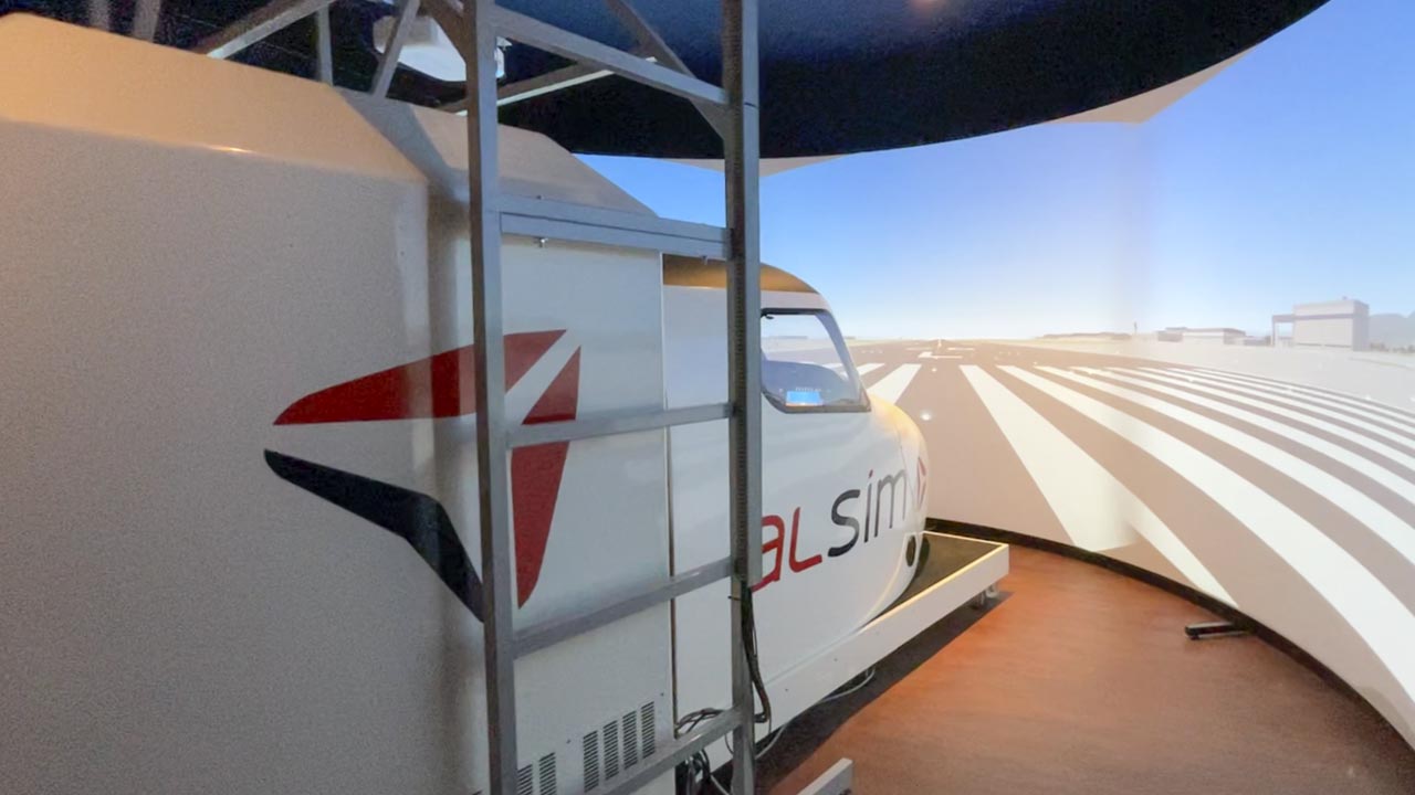
ALSim simulator at Pacific Flying Club—where students build precision, practice procedures, and train for real-world flying before stepping into the aircraft. The Role of Simulators

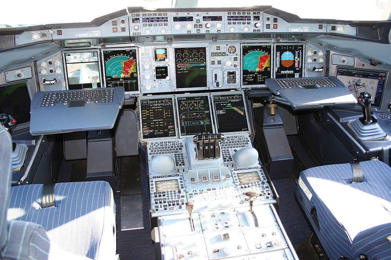
The ALSim ALX simulator at Pacific Flying Club features a full glass cockpit layout, allowing student pilots to practice instrument procedures and navigation using modern

By the time you receive your Private Pilot Licence, you have already been living like a pilot for months. You’ve planned cross-countries, monitored weather systems,

Every student pilot faces weather delays in training, often sooner than expected. You plan your day around the lesson, arrive ready, and check the weather

Piper PA-34 Seneca at Boundary Bay Airport. The Day Flying Stopped Feeling Casual Let me tell you something most pilots don’t usually talk about. The