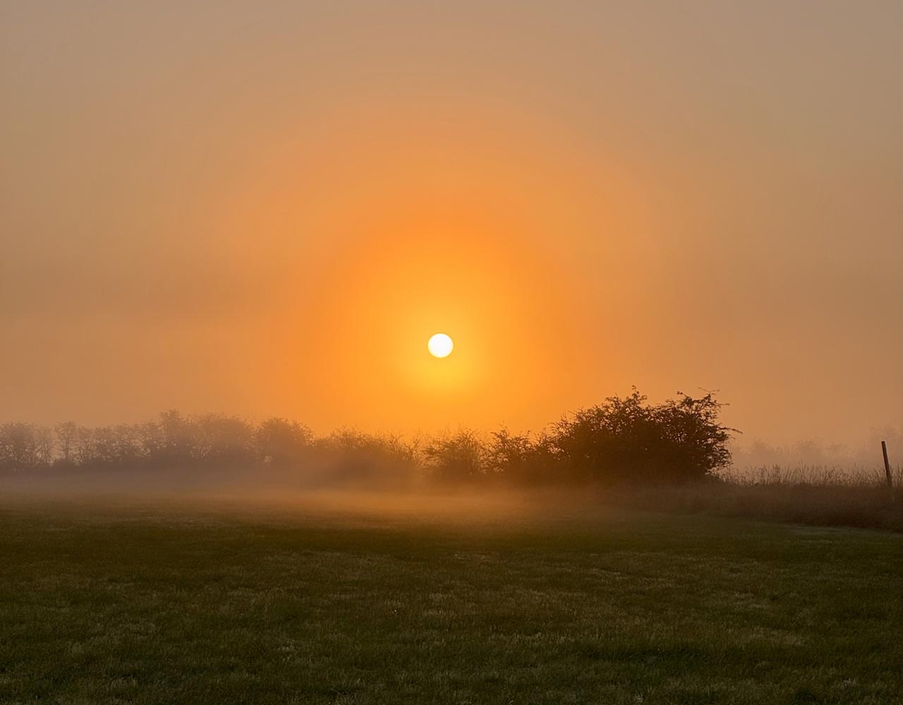
According to the manual, marine conditions around Vancouver and Boundary Bay can deteriorate rapidly, often with early-morning inflow associated with a ridge of high pressure along the coast. The low cloud or fog may last several hours, sometimes into mid-afternoon, and during a persistent pattern it can take progressively longer to clear on successive days. The manual doesn’t tie this pattern to a particular season, so on any foggy morning it’s worth asking which process is actually at work rather than assuming it’s radiation fog that will burn off after sunrise.
Why Nearby Airports Can Report Different Visibility
Langley, Pitt Meadows, Vancouver International, and Boundary Bay are a short flight from one another, yet their reported conditions can differ considerably. Distance is only part of it. Local wind, moisture, surface temperature, and the movement of low cloud all affect visibility.
For radiation fog, wind speed is critical. Light winds mix cooling and moisture through a shallow layer near the surface. Stronger winds mix the air too much for that layer to stay saturated, and in near-calm conditions the moisture tends to settle out as dew or frost instead. NAV CANADA’s Aviation Meteorology Reference notes that a surface wind forecast off by only a few knots can decide whether radiation fog forms at all.
Marine fog adds another variable. A shift in the flow of moist air can bring fog or low cloud over an airport that previously had good visibility while another field nearby stays clear. That’s why an observation from a nearby airport is useful but can’t simply be treated as the weather at Boundary Bay.
Why Visibility Can Drop After Sunrise
Most pilots expect fog to start clearing once the sun is up, but radiation fog can briefly get worse first. NAV CANADA explains that radiation fog generally dissipates from its outer edges. As the sun warms the ground around the fog, mixing develops along the boundary with the clearer air. At first that mixing can cause additional condensation and lower visibility slightly. As warming continues, the same mixing evaporates the droplets and the fog area shrinks inward, which is why locations near the edge of a fog bank can improve well before those deeper inside it.
Sun strength matters as well. In autumn, shorter days and a lower sun angle provide less heating than in summer, and fog tends to be thicker and slower to burn off as winter approaches. NAV CANADA illustrates this with a documented October fog event in Quebec, where nearby airports cleared at different times and one forecast had to be amended when the fog lasted longer than expected.
Marine fog is a different problem. If moist air keeps moving inland, daytime heating may not be enough to clear the low cloud, and fog that has drifted over water can take longer to dissipate than fog over nearby land. Two mornings that look much the same at first light can play out very differently.
Why Clearing Times Are Hard to Forecast
Predicting when fog will lift is often harder than predicting whether it will form, because small changes in temperature, moisture, wind, or stability can produce noticeably different results. For radiation fog, even high cloud can change the outcome. Cirrus arriving overnight reduces surface cooling and keeps temperatures from falling as far as expected, so fog that looked likely the evening before may never form.
Wind forecasts matter just as much. A slightly stronger breeze can prevent fog from forming, and a change in wind direction can move existing fog onto or away from an airport. Once fog is in place, its depth, the temperature of the surrounding air, any cloud above it, and the available sunlight all affect how long it lasts.
For pilots, the useful question is not simply whether a forecast calls for improving visibility. It is what atmospheric changes are expected to produce that improvement, and whether current observations show those changes are actually taking place.
Reading the Weather at Boundary Bay
Student pilots learn to rely on METARs and TAFs, but CZBB doesn’t have its own routinely published METAR or TAF. Nearby stations, including Vancouver International (CYVR), provide observations and forecasts that establish the regional picture, but a Vancouver METAR doesn’t necessarily describe the visibility or ceiling at Boundary Bay.
Boundary Bay’s Automatic Terminal Information Service (ATIS) provides local information during its operating hours, and the airport’s pilot information page directs pilots to NAV CANADA’s flight planning website and weather briefing service.
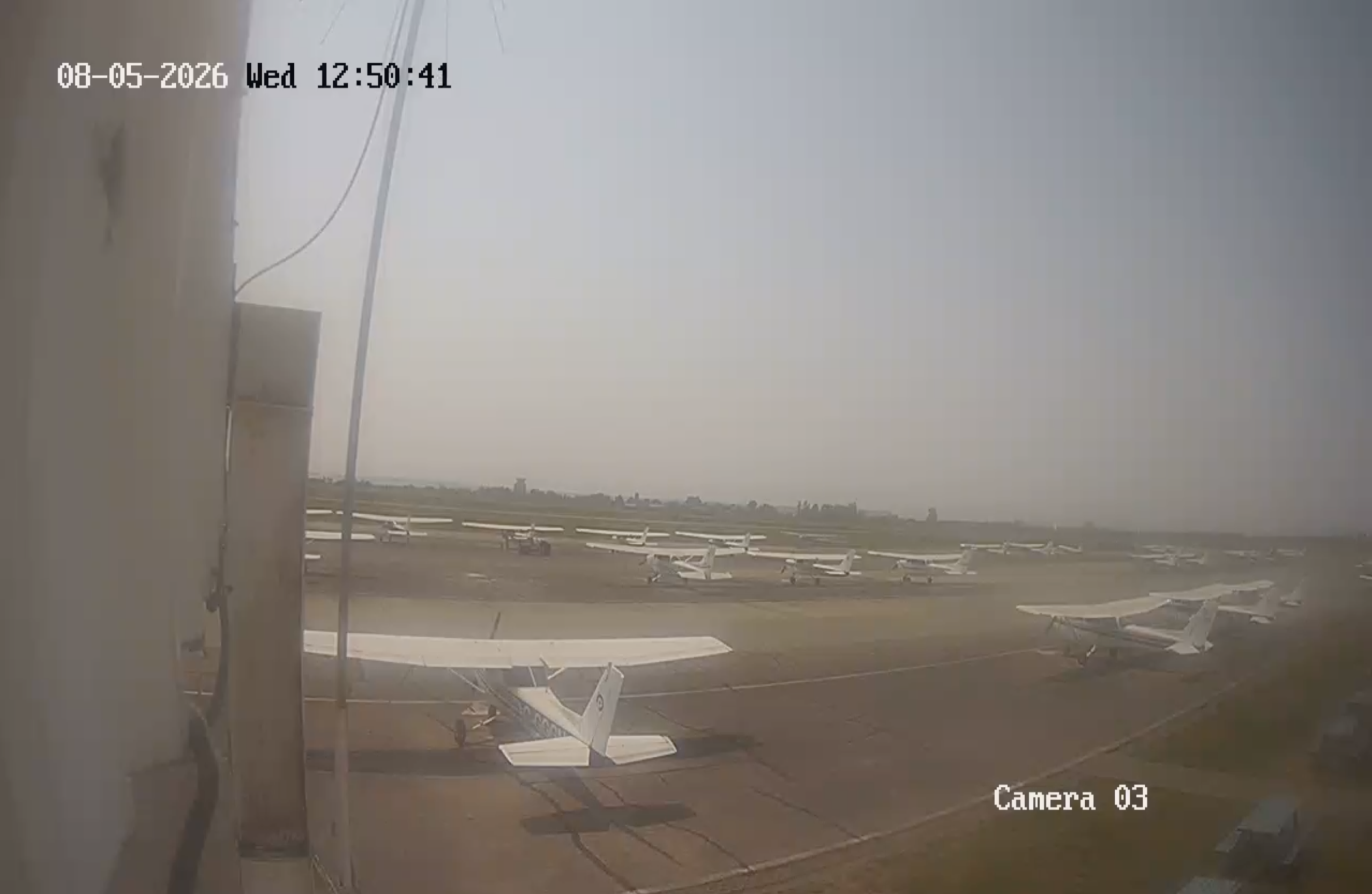
Pilots can build on that with Graphic Area Forecasts (GFAs), nearby METARs, weather cameras, satellite imagery, and pilot reports. Each answers a different question. The GFA shows the expected extent of fog and low cloud across the region, nearby METARs give actual observations at specific stations, and local information adds detail for Boundary Bay itself. Temperature and dew point readings can show that conditions favour fog, but on their own they don’t establish the actual visibility or ceiling. Weather cameras add useful visual context without replacing official reports, and PIREPs are especially valuable when localized fog isn’t well captured by the forecasts.
What a Foggy Morning Can Teach a Student Pilot
A foggy morning is a good chance to connect ground school meteorology with what is actually happening at the airport. Say the forecast calls for improving visibility by late morning. Rather than just waiting it out, a student and instructor can work through the evidence. Is the temperature rising while the dew point holds steady? Has the wind picked up or shifted? Are nearby airports reporting improvement? Does the pattern look like radiation fog burning off, or could marine air be keeping the low cloud in place?
Those questions are most useful when the observations are tracked over time. A narrowing temperature and dew point spread shows the air approaching saturation, but it doesn’t guarantee fog, and more sunlight doesn’t guarantee that existing fog will clear quickly.
Later in the day, compare the morning forecast with what actually happened. Did visibility improve when expected? What developed differently, and what changes in wind, temperature, or cloud might explain it? This kind of discussion fits naturally into a weather briefing with a flight instructor, and it builds the habit of interpreting changing conditions rather than relying on a forecast issued hours earlier.
Learning to Fly in Boundary Bay’s Weather
Training at a coastal airport means learning to work with this kind of weather from the start. Fog is one of several visibility issues student pilots in the Lower Mainland learn to assess, and wildfire smoke is another. For students in Pacific Flying Club’s Private Pilot Licence program, mornings like these become part of learning to make sound go/no-go decisions with an instructor’s guidance.